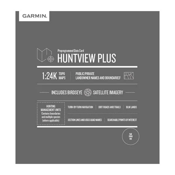
HuntView Plus map cards load land ownership detail onto a compatible Garmin handheld: public and private land boundaries, landowner names where they are on record, and Garmin’s TopoActive base mapping underneath.
Each card covers one state or region and arrives on a microSD card with an SD adapter, so it drops into the handheld’s card slot with nothing to download. Choose your region from the Version list; these are the 25/26 editions.
Coverage detail and boundary data vary by region and are subject to the source records available for that area.